
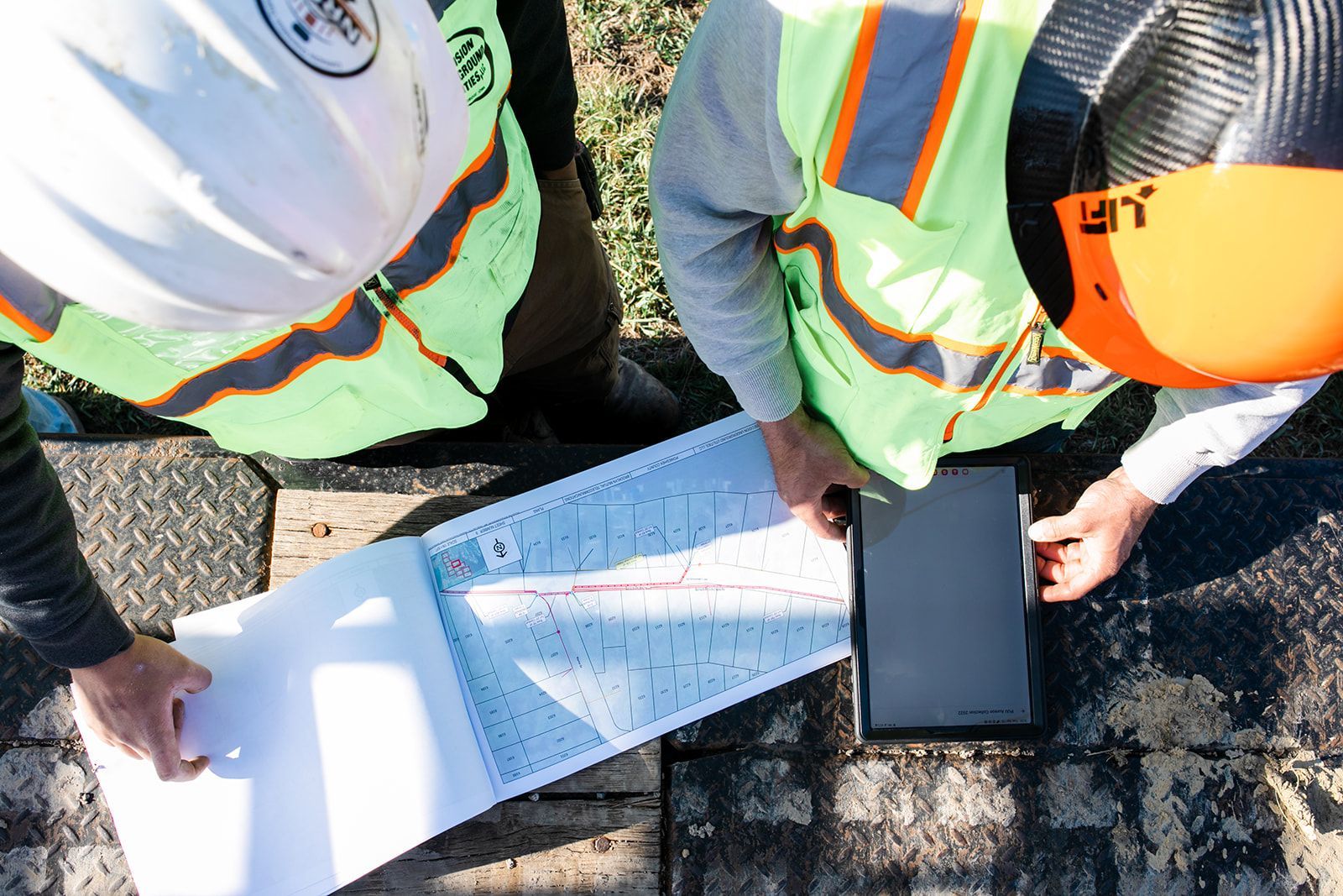
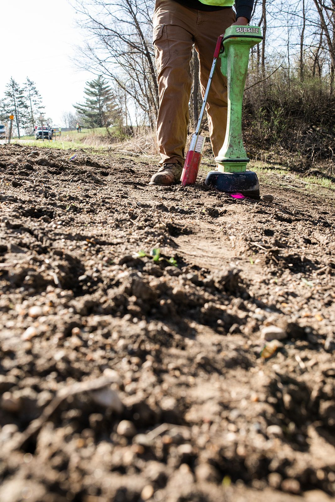
We work with governments, municipalities, engineers, utilities, contractors and developers to locate existing utilities and find room for new pathways.
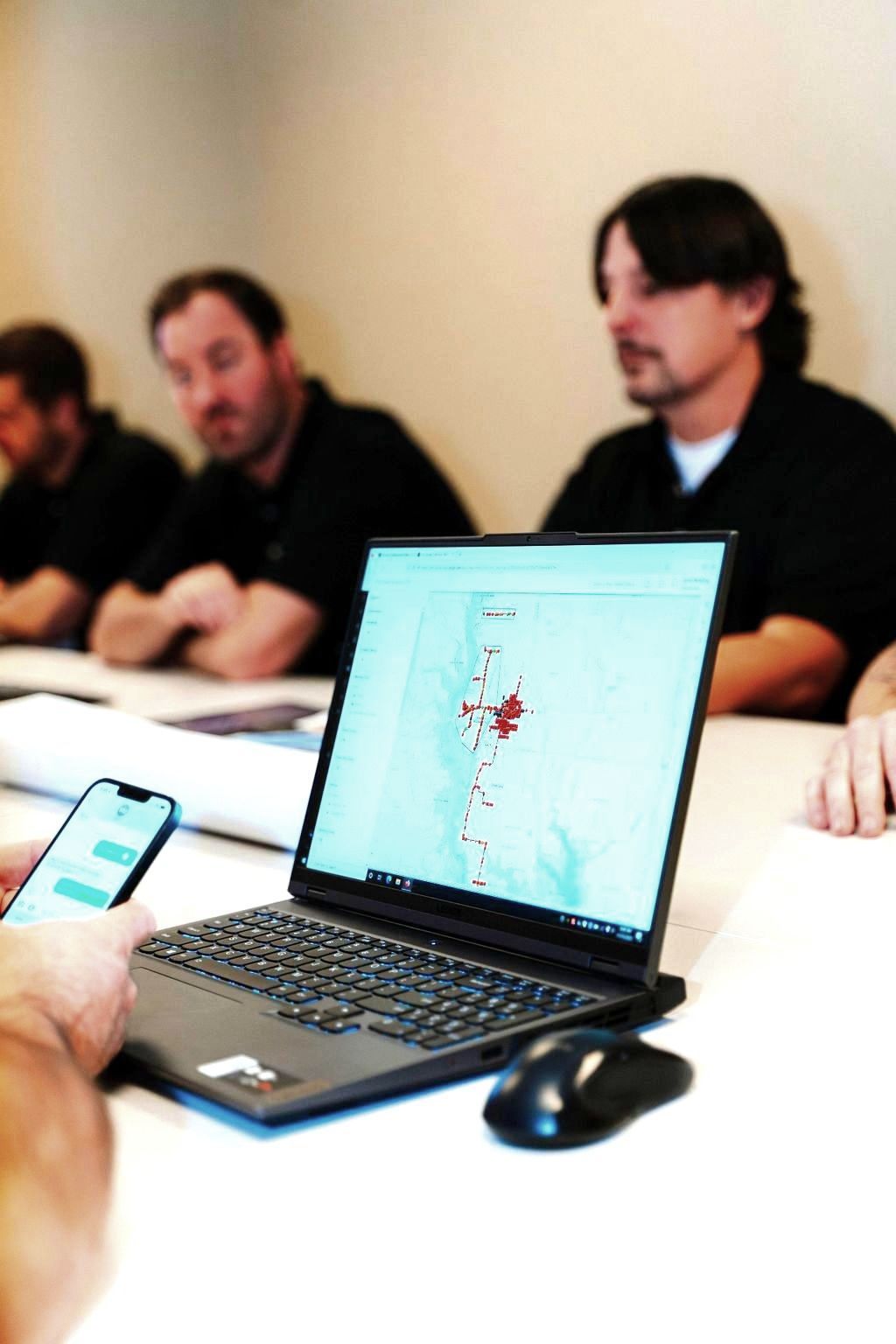
GEOGRAPHIC INFORMATION SYSTEM (GIS)
Most of the information we have about our world contains a location reference. A Geographic Information System (GIS) analyzes and displays geographically referenced information, using data that is attached to a unique location.
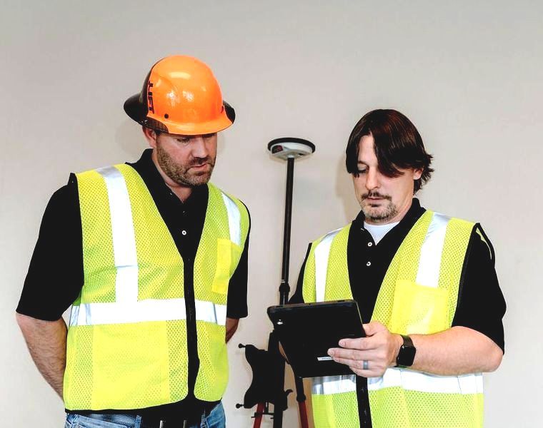
CENTIMETER GRADE GPS
High-accuracy mapping with centimeter-grade GPS (Global Positioning Systems) avoids wasted time and money that can come with unreliable, outdated drawings.

PRECISION IS IN OUR NAME FOR A REASON
PAM is great to work with. They listen to figure out what I really need and are always punctual with changes and updates! We appreciate you!
- WEST UNION TRENCHING